You’re on a rooftop, a train window, a hilltop, or just a road you’ve never driven before. You look toward the horizon and a small question pops up: “What’s that way? Which town is beyond those hills? What’s in this direction I’m heading?”
Maps are brilliant at telling you what’s at a point. They’re surprisingly clumsy at answering “what lies in the direction I’m facing?” — you end up pinching, panning and guessing.
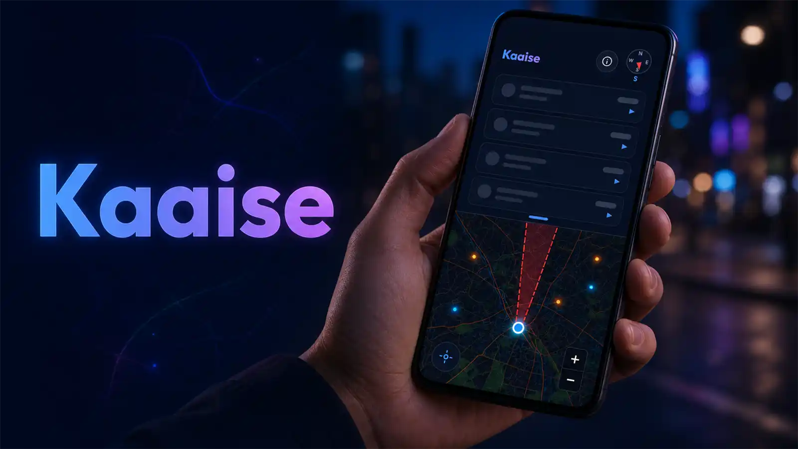
So I built Kaaise to answer exactly that one question.
🔗 Try it now: kaaise.whatistheurl.com
What it does
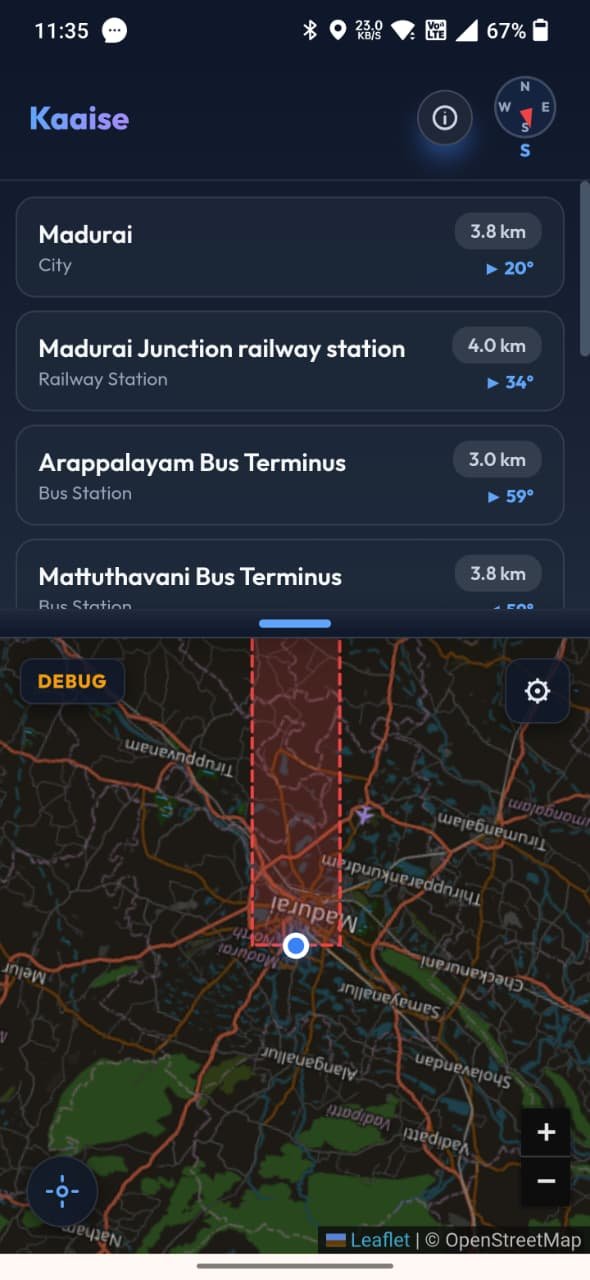
Hold your phone flat like a compass and slowly turn. Kaaise shows you the notable places in the exact direction you’re pointing — cities, towns, mountains, lakes, forts, beaches, national parks, airports, railway stations — up to 100 km away.
Sweep to the north-east, and the list fills with what’s north-east. Turn west, and it instantly swaps to what’s that way. It’s oddly addictive — like a radar for the real world.
How it feels to use
- 🗺️ The map rotates with you, so “up” is always the way you’re pointing.
- 🔴 A scanning beam sweeps across the map showing your field of view.
- 📜 The list updates live as you turn — places fade in and out as they enter the beam.
- ➡️ Every place shows how far left or right it is (
◀/▶/▲), turning green the moment you’re pointing straight at it. - 📍 Tap any place to pin it on the map.
The clever bits (for the curious)
- Only places worth knowing. The data comes from Wikidata, so you get notable places — not every unnamed hamlet. Results are ranked by significance, not just raw distance.
- Fast and offline-friendly. Once you’ve scanned an area it’s cached, so it loads instantly and even works without signal for places you’ve already explored.
- No compass? No problem. If your device has no magnetometer, it simply lists everything nearby instead.
The best part: it’s just a web page
No app store. No download. No sign-up. No servers.
- Open the link → it works.
- Tap Add to Home Screen → it installs like a real app and runs offline.
- 100% free, no API keys, no tracking.
It’s built with plain HTML, CSS and JavaScript, maps by Leaflet + OpenStreetMap, places by Wikidata — and the compass comes straight from your phone’s own sensors.
Open source
Kaaise is open on GitHub — fork it, learn from it, build on it: 👉 github.com/vijayrajesh/Kaaise-Whatisthere
If Kaaise sparks even a little curiosity about the world around you — or helps one traveller get their bearings — that’s enough.
— Rajeshkannan MJ
Point your phone somewhere right now and tell me what you find. I’d love to hear about it.
Leave a Reply
You must be logged in to post a comment.